
Resources
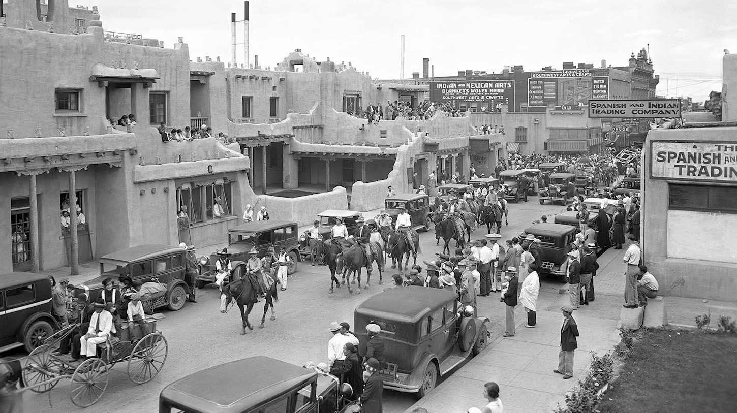
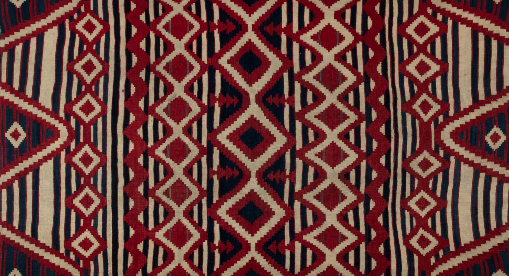
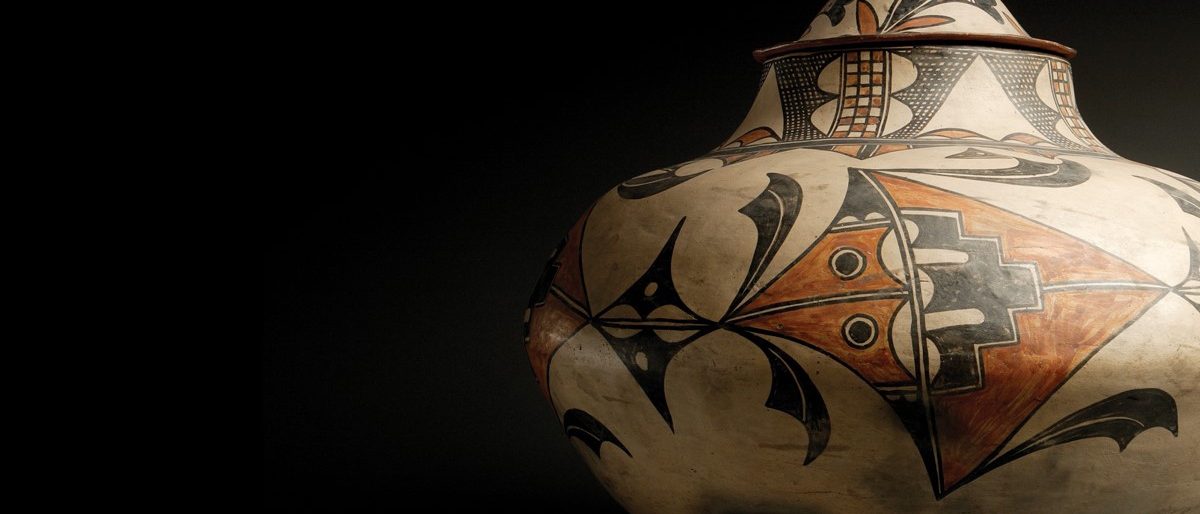
Thank you to the following repositories, as well as others listed in the program, for use of their collections in our educational materials.
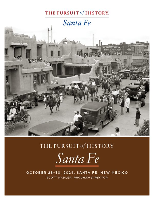
Program for The Pursuit of History: Santa Fe
Scott Nadler, Program Director, The Pursuit of History: Santa Fe
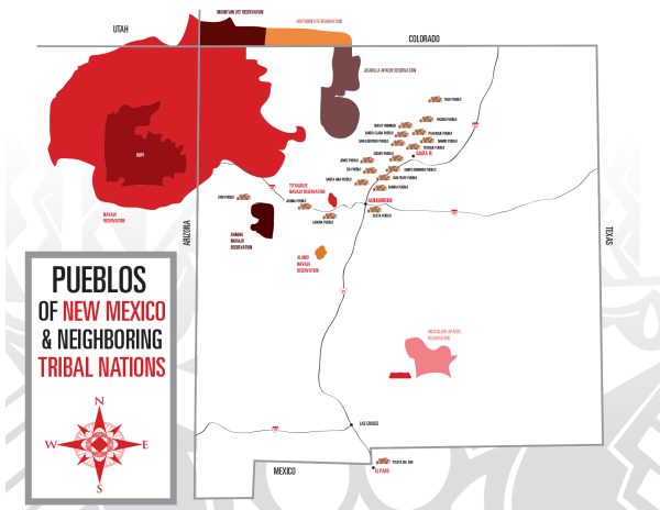
Map to Pueblos and Tribes of New Mexico (The Indian Pueblo Cultural Center)
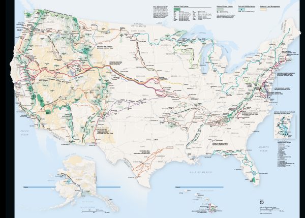
National Trails Map (U.S. National Parks Service)
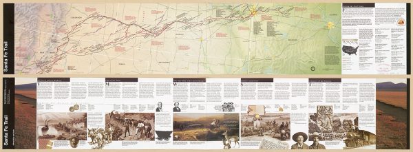
Santa Fe National Historic Trail, Colorado, Kansas, Missouri, New Mexico, Oklahoma, official map and guide (2004, U.S. National Park Service, Library of Congress)
An extensive guide, map, and timeline. Oversized fold-out map, and high-resolution scan, currently out of print and available as a PDF only.
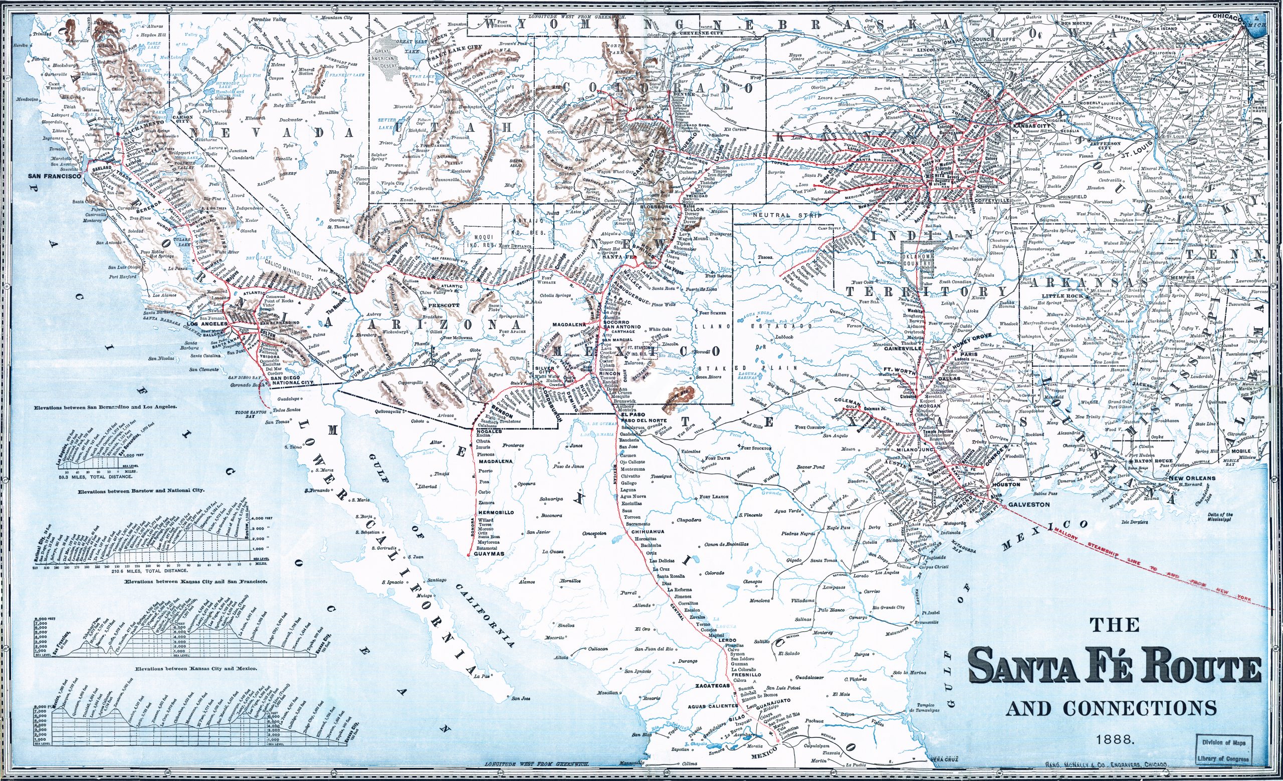
The Santa Fé Route and connections, 1888. (Library of Congress)
Map of the southwestern United States and northern Mexico showing relief by hachures, drainage, cities and towns, stations, Indian reservations, state boundaries, and the railroad network emphasizing the main line. Includes railroad names. Profiles in lower left of map. (Library of Congress)
(Image linked above has been color-enhanced and retouched to bring out names and details.)
The Atchison, Topeka and the Santa Fe railroad system, 1899. (Library of Congress)
Map of the Western United States from Chicago to the Pacific coast, roads and railroads are named. (Library of Congress)
(Image linked above has been color-enhanced and retouched to bring out names and details.)
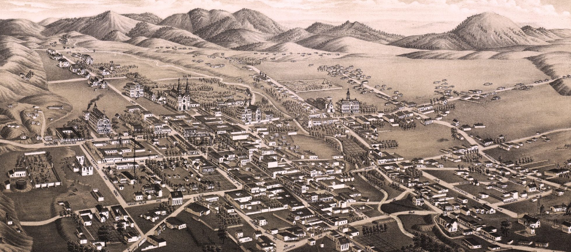
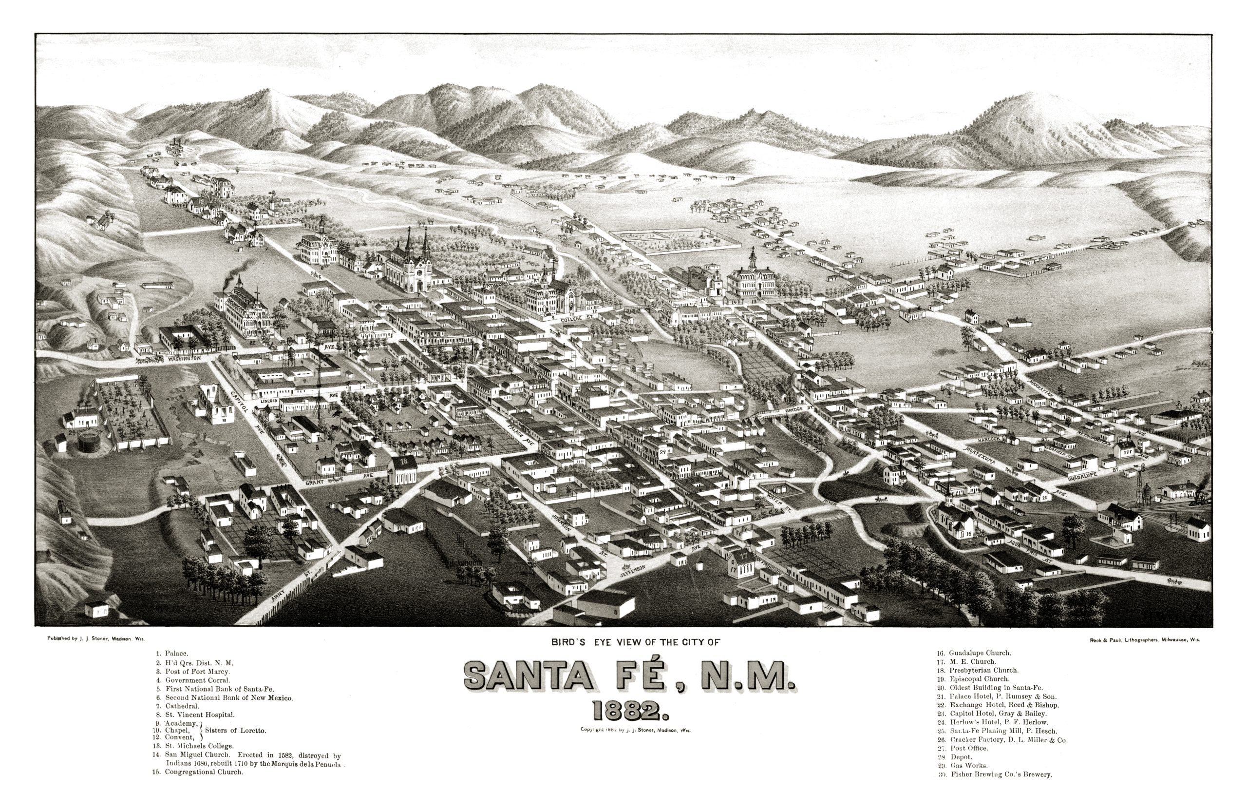
Bird’s eye view of the city of Santa Fé, N.M. 1882. (Library of Congress)
(Image linked above has been color-enhanced and retouched to bring out names and details.)
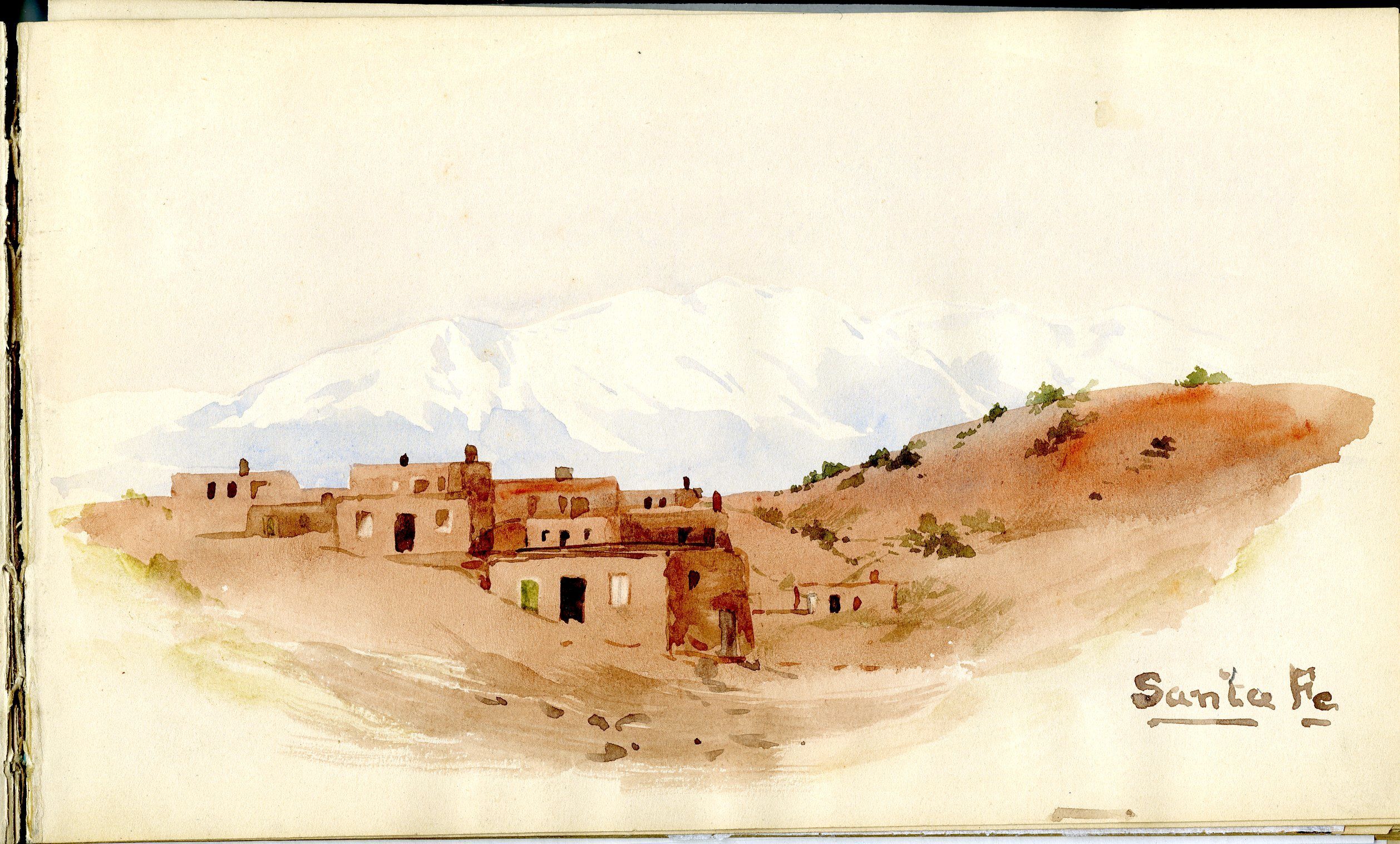
Santa Fe, depicted by Mary King Longfellow in her sketchbook on a trip across the Western and Southwestern United States and Mexico in 1885 (U.S. National Parks Gallery, Longfellow House, Cambridge, Massachusetts)
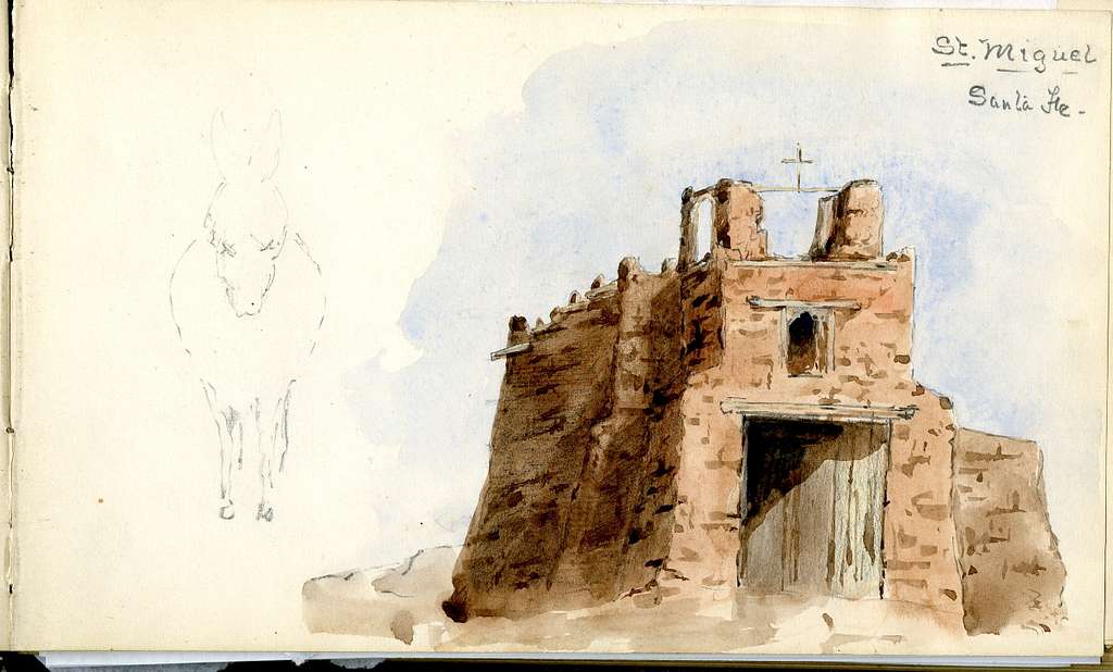
St. Miguel, Santa Fe, depicted by Mary King Longfellow in her sketchbook on a trip across the Western and Southwestern United States and Mexico in 1885 (U.S. National Parks Gallery, Longfellow House, Cambridge, Massachusetts)
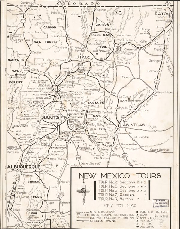
New Mexico Tours, Federal Writers’ Project, 1939 (Library of Congress)
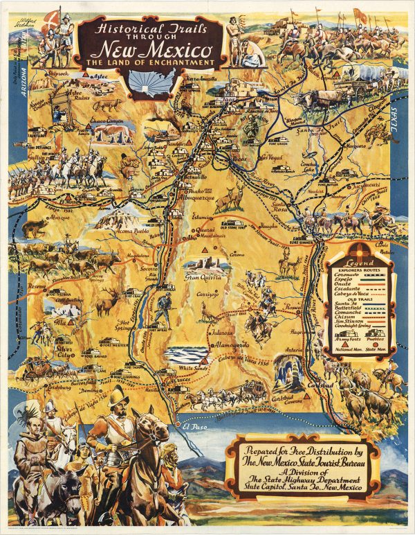
Historical Trails Through New Mexico The Land of Enchantment, 1940 (David Rumsey Historical Map Collection)
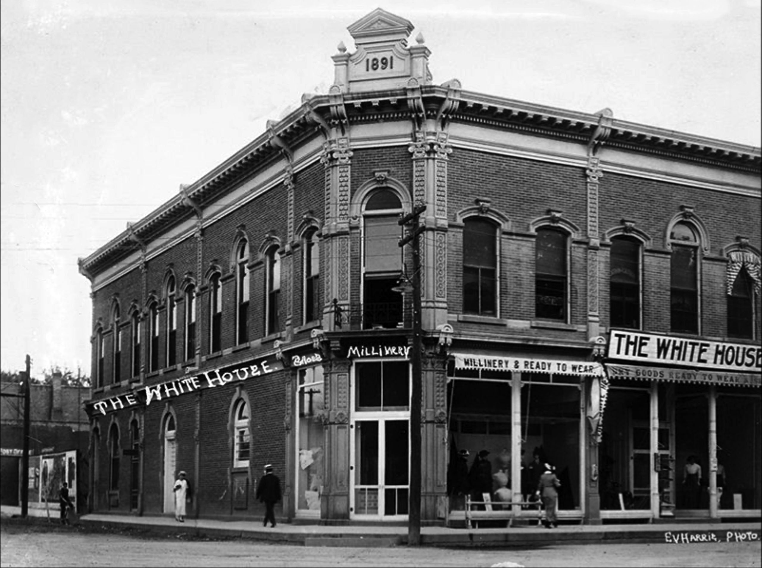
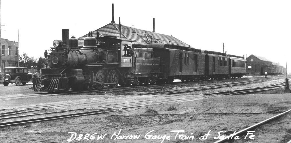
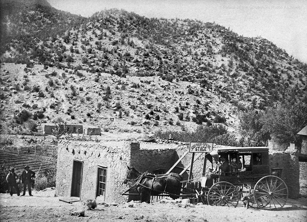
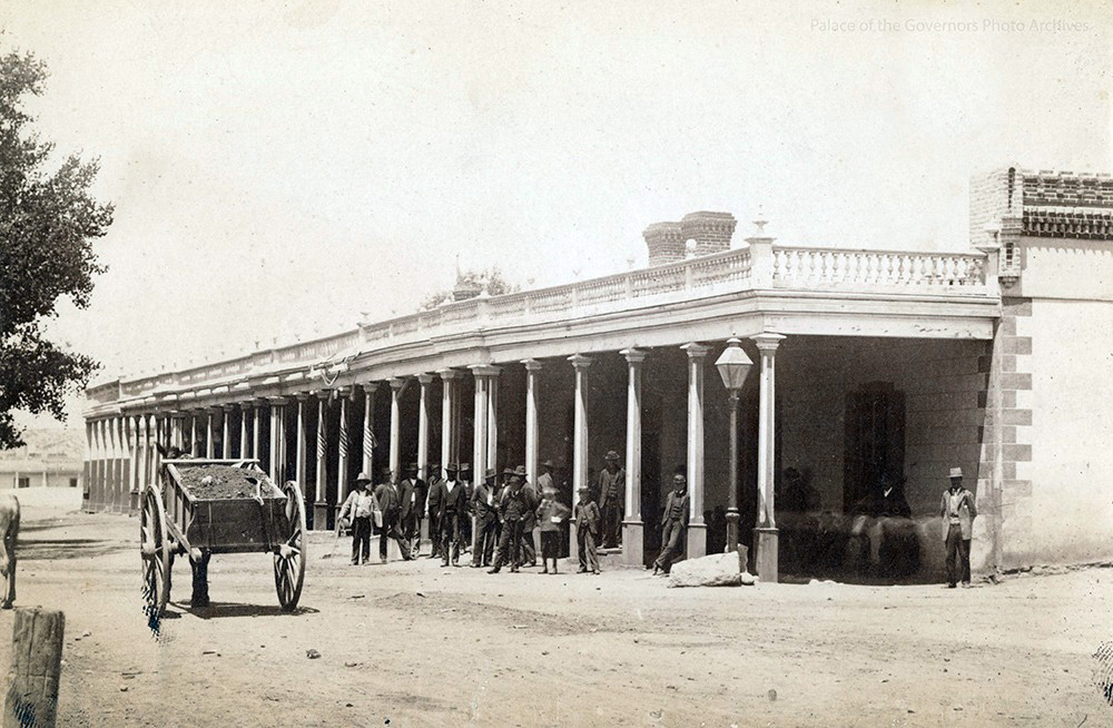
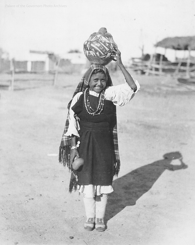
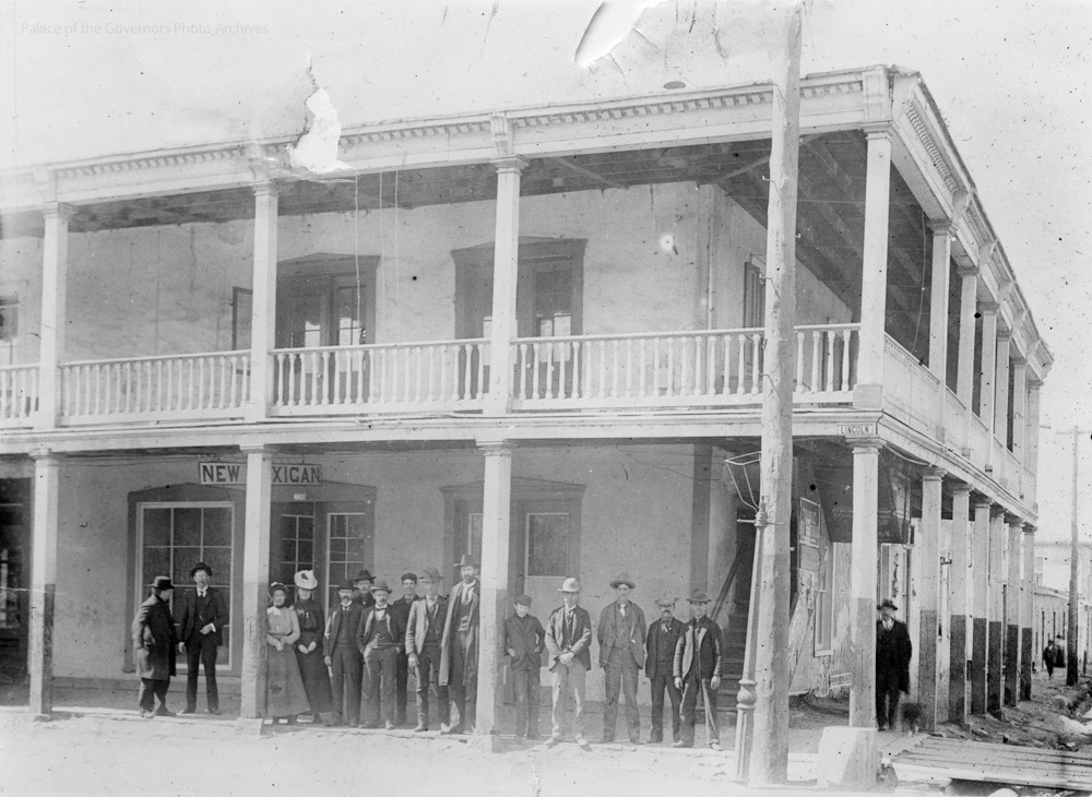
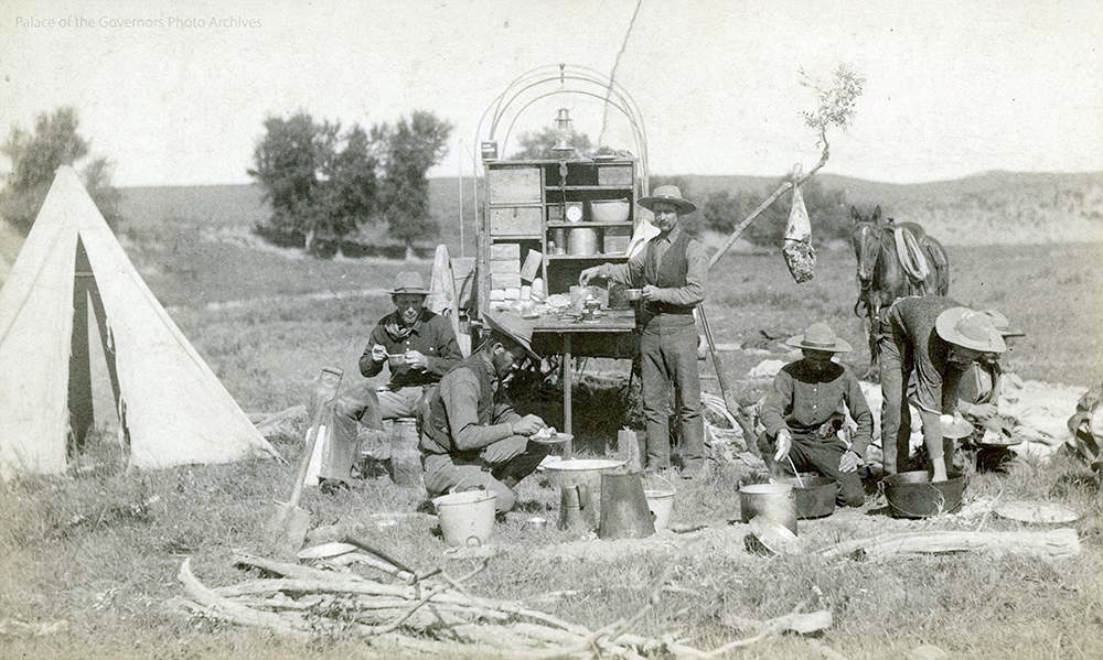
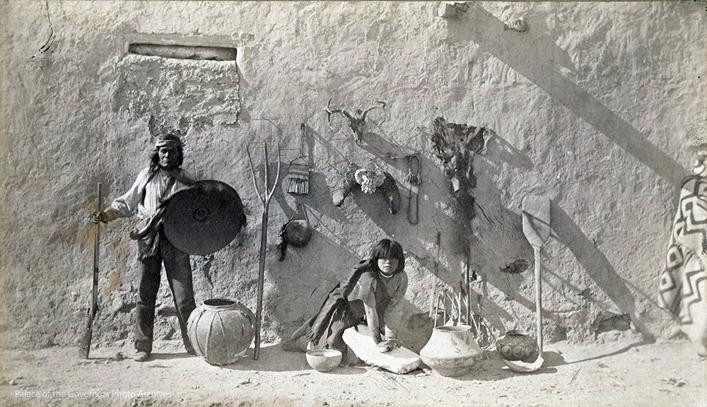
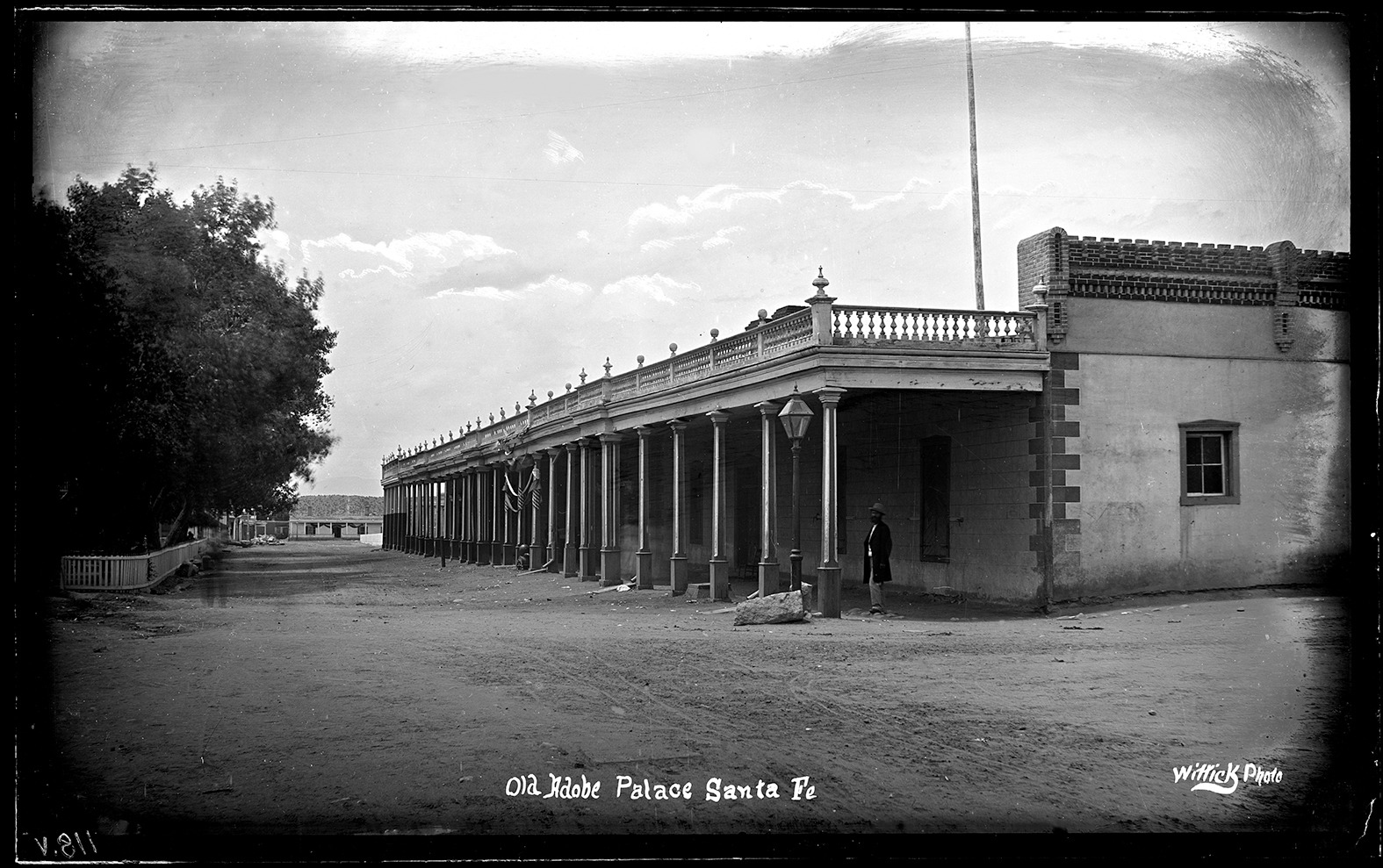
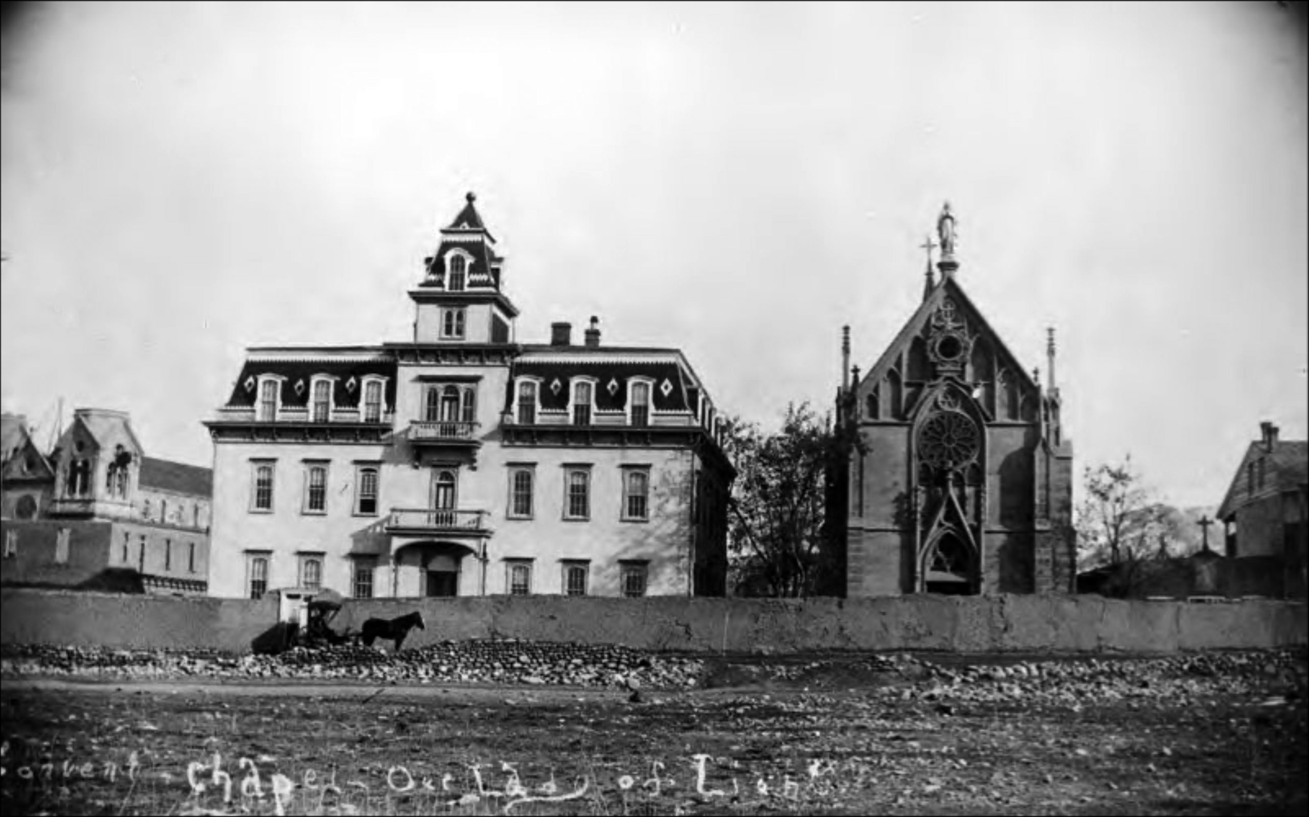
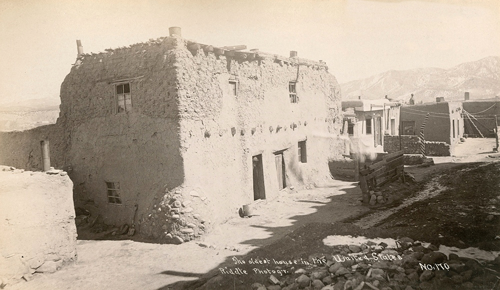
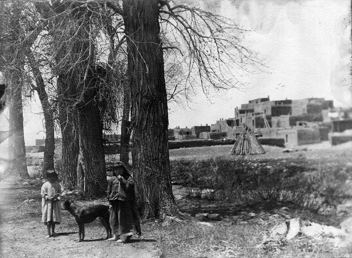
Palace of the Governors Photo Archives Collection (University of New Mexico)
The Palace of the Governors Photo Archives contains an estimated 1,000,000 items including historic photographic prints, cased photographs, glass plate negatives, film negatives, stereographs, photo postcards, panoramas, color transparencies, and lantern slides. This important collection includes material of regional and national significance, dating from approximately 1850 to the present, covering subject matter that focuses on the history and people of New Mexico and the expansion of the West; anthropology, archaeology, and ethnology of Hispanic and Native American cultures; and smaller collections documenting Europe, Latin America, the Far East, Oceana, and the Middle East.
Browse the online collection >
Explore images on the Palace of the Governors Photo Archive Facebook page >